Geosites
As assert in Declaration of the Rights of the Memory of the Earth (Digne 1991), "Our history and that of the Earth are inseparable. Its origins and history are ours, on has been adapted or modified for the needs of the others and vice versa". Just as the History of Man relates its evolution, its conquests, its affirmation over other living beings and its fragility, in a similar way the History of the Earth tells us the story of our planet, of the moving continents, of mountain building, of the disappearance of oceans or mass extinctions of animals and plants, and it does this mainly through the places in which these events have occurred.The Earth is alive, it changes, it moves and the signs of this evolution all come together and show themselves at the earth’s surface and in the landscape like disordered pieces of a broken puzzle. It is up to us to identify them, decipher and recompose the puzzle, so creating a fully understandable image that tell as the full history. A Geosite provides a direct and friendly interface which reveals the knowledge of Earth history to a public without specific preparation. It enables them to understand the events that have produced the current landforms and those phenomena that will modify and generate future landscapes.
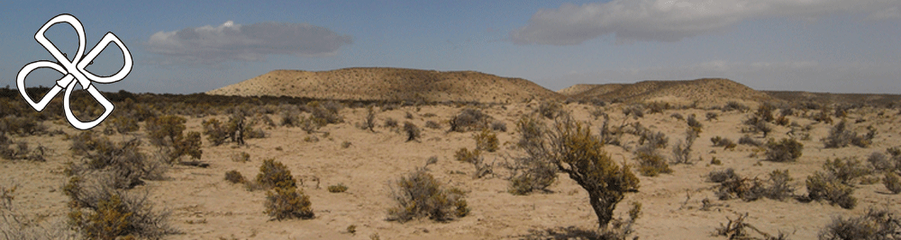
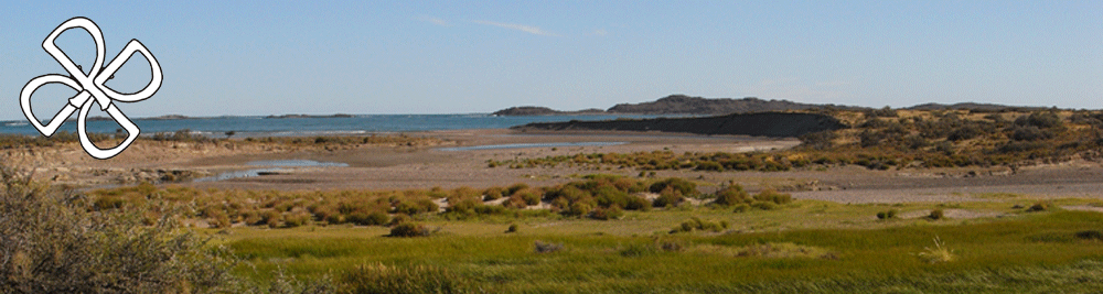
The Patagonian coast is an environment of high natural values (however, it is threatened by oil exploitation, mining and increasing tourism) and represents a natural heritage that need to be preserved for future generations as reserve of marine and terrestrial biodiversity. This project intends to produce and disseminate data also for supporting form of tourism based on care and responsibility and selecting some area to be further preserved as Geosites.
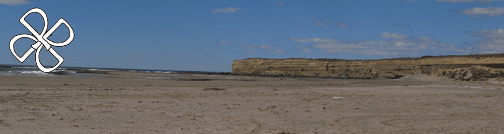
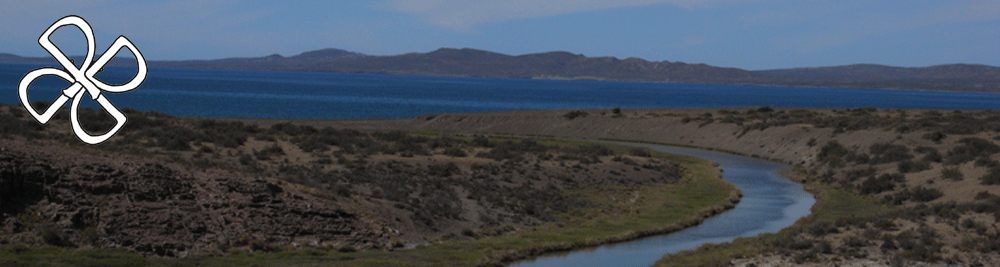
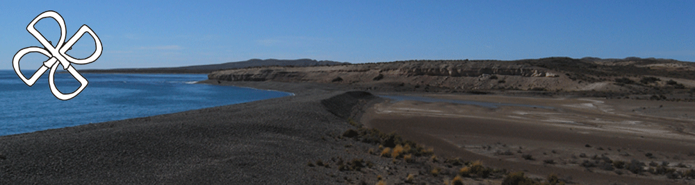
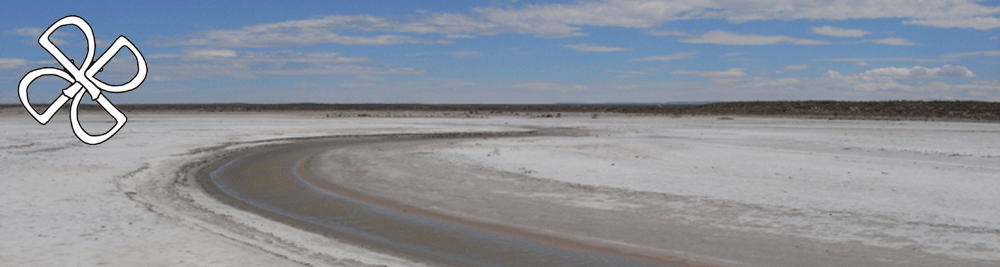
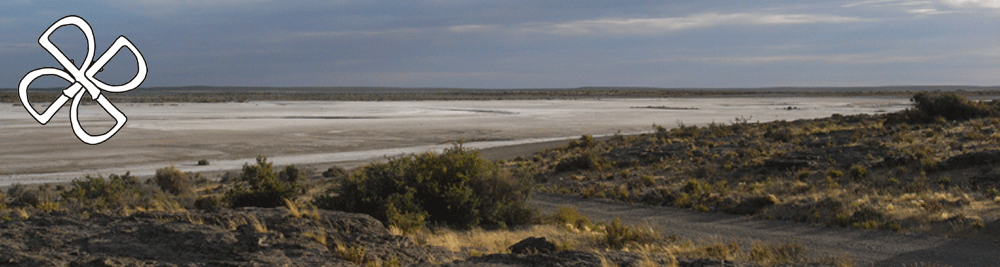
The Patagonian coast of Argentina preserves impressive traces of sea level oscillations represented by marine deposits and erosional forms of high scientific value for understating climatic changes and tectonic uplift history in this area.
In particular the coastal area of Bahia Bustamante, due to the excellent state of preservation of its landforms and their great number, represents one of the areas where the Quaternary period is best represented in all the Argentinean coast. Past landforms and deposits are in fact, particularly well preserved because weathering processes and infrastructures are very limited.
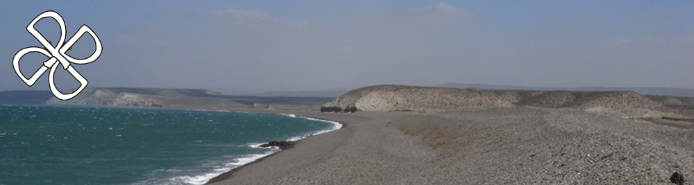
The landscape is dominated by the outcrops of marine deposits, prevalently organized in impressive series of sandy to gravelly beach ridges.
Beach ridges are considered sedimentary structures formed during the progradation of the coastal system. It occurs during periods of sea-level fall which results in marine regression. The shoreline has been built seaward by accumulation of sand and pebbles stranded by storms waves. The waves activity rips benthic animals from the seafloor accumulating them within beach ridges. From the fossilized shells preserved until nowadays, is possible to determinate the deposit age.
